GdB delivers quality, timely, actionable geospatial data to the infrastructure, property, and energy markets of the Northeast.
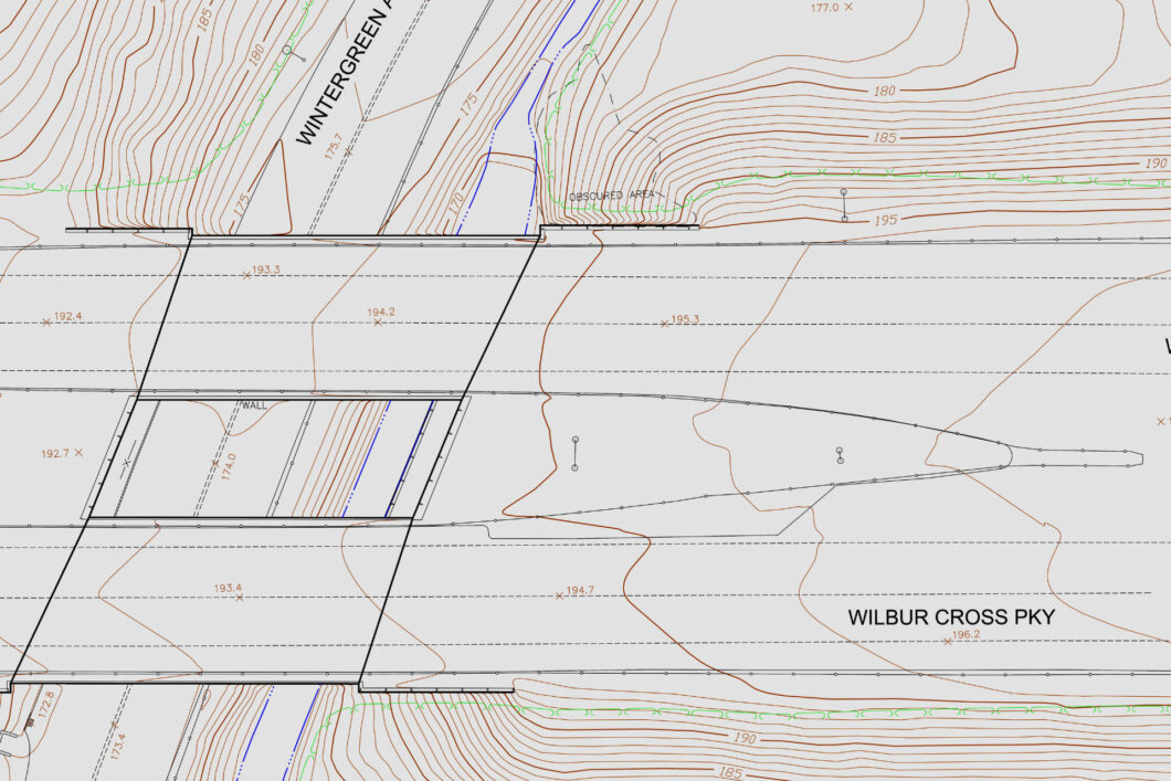
Corridor Mapping
With nine FAA certified sUAS 107 remote pilots on staff, GdB is leading the surveying and mapping industry by embracing drone technology. Low altitude photography, combined with our high-order ground control, creates accurate, orthorectified aerial imagery and point clouds. These products enter GdB’s CAD workflows to create traditional topographic maps and they can be hosted on our GIS servers for our clients to access via the web.
sUAS technology has had a huge impact on land surveying, and it enables us to provide data that was previously only available through large scale operations. The types of jobs that are now able to be accomplished due to the increased safety for field staff cannot be understated. Through Drone services, GdB staff can now work safely on the side of high traffic roadways, creeks, river beds, and construction sites to gather survey data and imagery that would have previously put staff in high risk situations. GdB’s staff of land surveyors and certified remote pilots are well versed in current FAA regulations governing airspace, and uniquely qualified to provide accurate 3D data. Our rich surveying history can give you piece of mind, that the deliverables you receive have been rigorously analyzed for the quality you expect from land surveying services.