Westchester County – GIS Needs Assessment
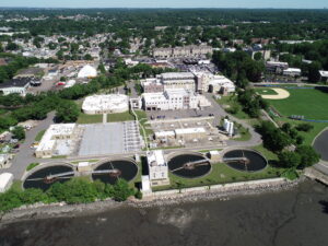
Through an existing On-Call agreement to provide GIS Consulting Services between GdB and Westchester County, GdB assisted the GIS team to perform a GIS Needs Assessment across multiple County departments. Westchester County has been collecting various forms of geospatial data from projects performed by County staff as well as contractors and consultants. A Needs Assessment was suggested to the County GIS team as a first step towards organizing and standardizing the Drone and LiDAR data so that the data can be used and leveraged throughout the County. The GdB team was uniquely positioned to complete this task with Westchester County given our Land Surveying, LiDAR/Drone, and GIS technology expertise.


