
Through an existing On-Call agreement to provide GIS Consulting Services between GdB and Westchester County, GdB assisted the GIS team to perform a GIS Needs Assessment across multiple County departments. Westchester County has been collecting various forms of geospatial data from projects performed by County staff as well as contractors and consultants. A Needs Assessment was suggested to the County GIS team as a first step towards organizing and standardizing the Drone and LiDAR data so that the data can be used and leveraged throughout the County. The GdB team was uniquely positioned to complete this task with Westchester County given our Land Surveying, LiDAR/Drone, and GIS technology expertise.
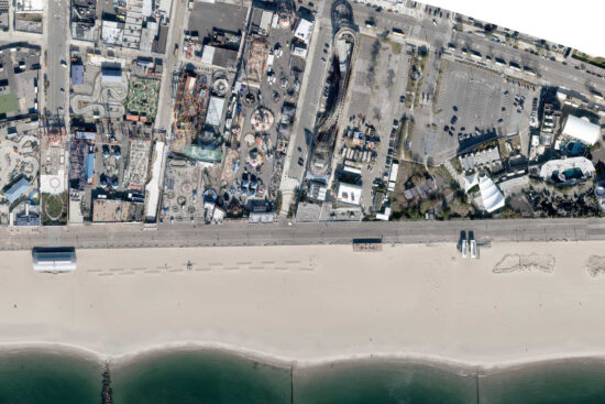
Browsing CategoryDrone Photography and Mapping
FEMA – RISK MAP Region II Watershed Mapping
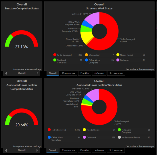
GdB has teamed with STARR II, as a survey subconsultant, through four fiscal years to perform Field Survey to obtain current “on the ground” data to support a RISK MAP Study in FEMA’s Region II which includes, Ontario, Orleans, Tompkins, Yates, Rensselaer, Saratoga, Seneca, Wayne, Chatauqua, Franklin, Genesee, Jefferson, St. Lawrence and Wyoming Counties.
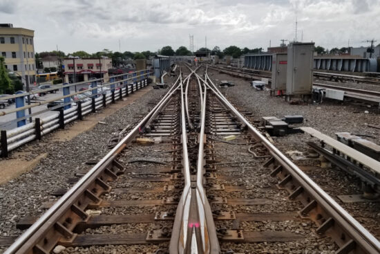
MTA LIRR – 3rd Track Design Build
GdB provided over 10 miles of right-of-way survey between Floral Park and Hicksville to determine the boundary between the MTA LIRR and the adjoining private ownership. Since the LIRR ROW was established in 1837, the determination of boundary locations over 182 years of development was an incredible effort by GdB. Record research from various towns and municipalities was performed to obtain relevant filed maps, deeds or property surveys for properties adjacent to the project scope area.