
Dig season is quickly approaching, but before you start excavating, it’s crucial to recognize the hidden risks lurking beneath the surface. Discover how Subsurface Utility Engineering (SUE) can safeguard your project, team, and bottom line.
Browsing CategoryRemote Sensing
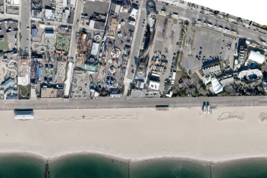
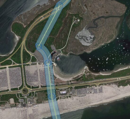
Nassau County DPW – Bay Park STP Ocean Outfall Effluent Diversion
GdB was hired as a subconsultant to provide a variety of Land Surveying services for this large scale effort by Nassau County DPW to divert dry weather effluent from the Bay Park STP to be discharged via the ocean outfall at the Cedar Creek WPCP. This required construction of a new dedicated pump station at Bay Park, a new force main between the two facilities and all related control systems and appurtenances required.
PSEG LI – Article VII Malverne to East Garden City
GdB was hired by Burns & McDonnell as a WBE Certified Subconsultant to provide various Land Surveying services on a proposed route for a new 138KV Underground Transmission cable to be used by PSEG to deliver reliable service and grid resiliency to Southwest Nassau County after the failure of two existing 50+ year old cables.
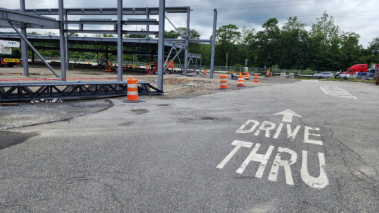
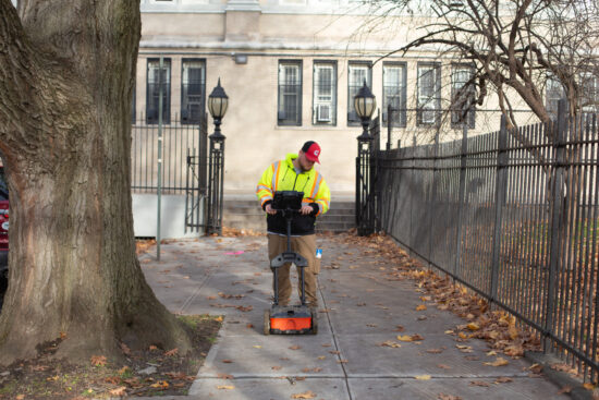
NYS Thruway Service Area Redesign
GdB field crews performed detailed topographic and utility surveys for each site, approximately 1.5 to 2 acres in size. All existing structures, pavement edges, sidewalks, curbing, ADA improvements, fences, gates, retaining walls, signage, lighting and visable surface hardware for utilities, and any other planimetric features were located.
HVDC Poseidon Transmission Cable Project
This was GdB’s largest ground control effort for Aerial Imagery to date. Field Crews set aerial targets at specified distances and provided survey accurate coordinates for photogrammetrists to perform their work to accuracy standards. GdB prepared and provided a complete survey file in AutoCAD Civil 3D utilizing pipe networks and progress was constantly tracked in GIS. This huge survey and mapping effort was expedited and completed within only six months, on time and within budget.
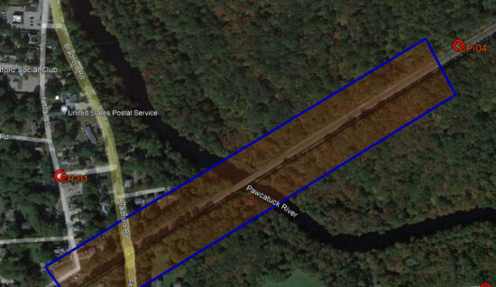
Amtrak Bridge Replacement over Pawcatuck River
For the site, GdB conducted due dilligence boundary research, obtaining records from publicly available municipal agencies and Amtrak. GdB field crews completed a Quality Level “C” utility survey, compiling record plan data with located surface hardware. This mapping was included in the basemapping deliverables to the client.
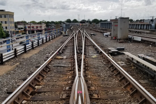
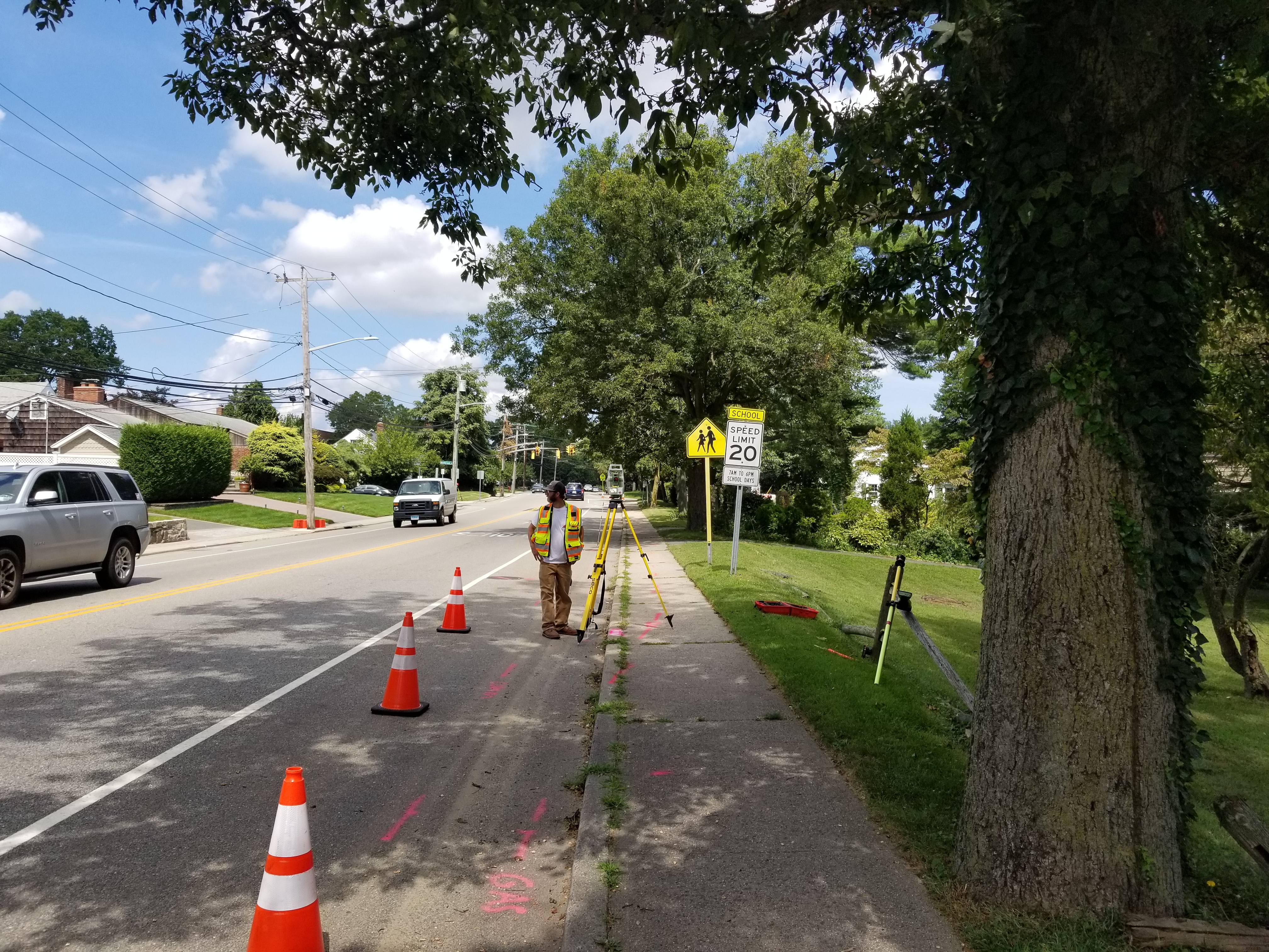
MTA LIRR – 3rd Track Design Build
GdB provided over 10 miles of right-of-way survey between Floral Park and Hicksville to determine the boundary between the MTA LIRR and the adjoining private ownership. Since the LIRR ROW was established in 1837, the determination of boundary locations over 182 years of development was an incredible effort by GdB. Record research from various towns and municipalities was performed to obtain relevant filed maps, deeds or property surveys for properties adjacent to the project scope area.