

Through an existing On-Call agreement to provide GIS Consulting Services between GdB and Westchester County, GdB assisted the GIS team to perform a GIS Needs Assessment across multiple County departments. Westchester County has been collecting various forms of geospatial data from projects performed by County staff as well as contractors and consultants. A Needs Assessment was suggested to the County GIS team as a first step towards organizing and standardizing the Drone and LiDAR data so that the data can be used and leveraged throughout the County. The GdB team was uniquely positioned to complete this task with Westchester County given our Land Surveying, LiDAR/Drone, and GIS technology expertise.
Browsing CategoryMarquis Projects
FEMA – RISK MAP Region II Watershed Mapping
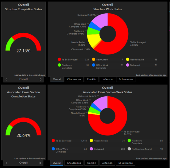
GdB has teamed with STARR II, as a survey subconsultant, through four fiscal years to perform Field Survey to obtain current “on the ground” data to support a RISK MAP Study in FEMA’s Region II which includes, Ontario, Orleans, Tompkins, Yates, Rensselaer, Saratoga, Seneca, Wayne, Chatauqua, Franklin, Genesee, Jefferson, St. Lawrence and Wyoming Counties.
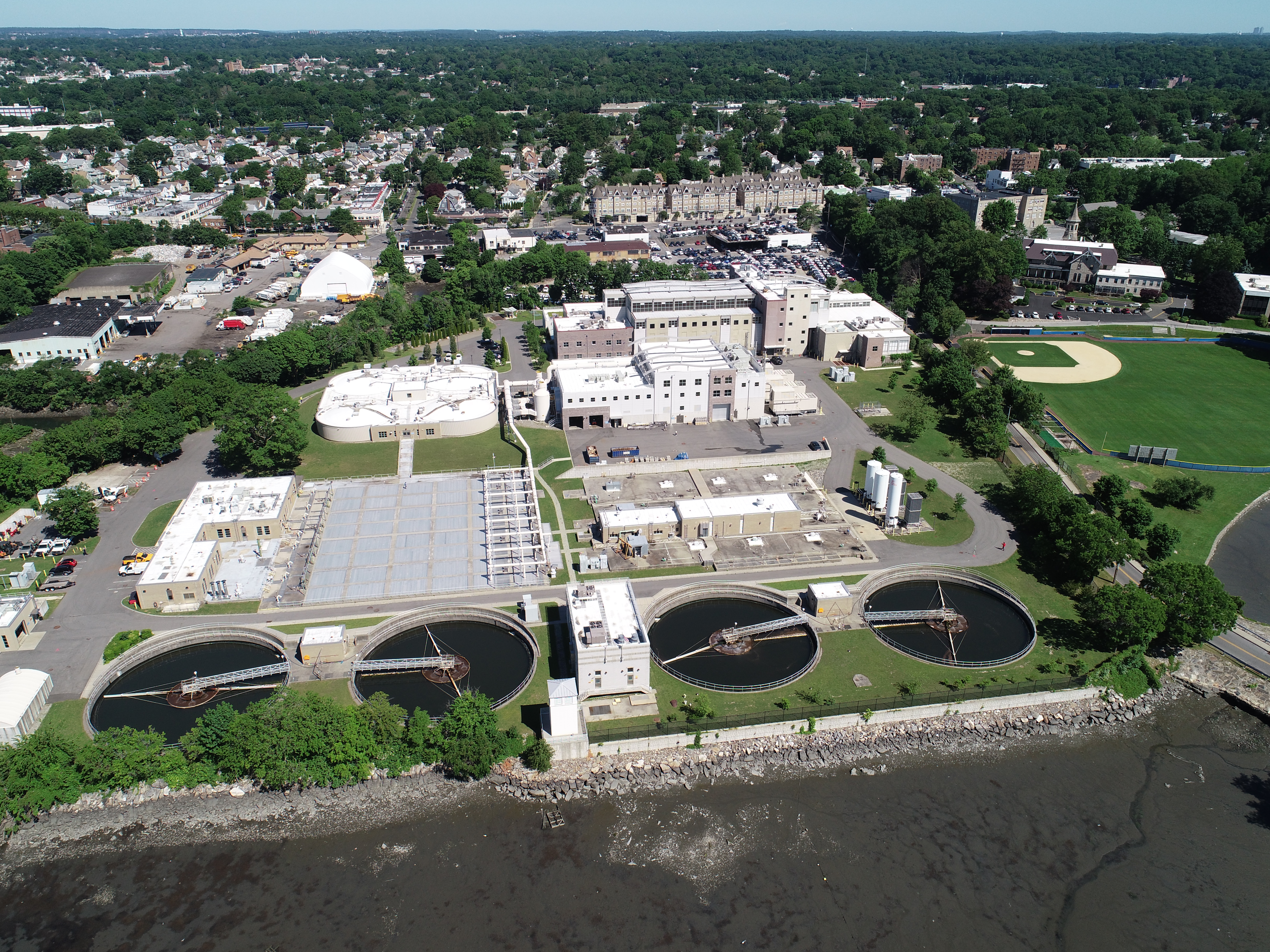
Nassau County DPW – Bay Park STP Ocean Outfall Effluent Diversion
GdB was hired as a subconsultant to provide a variety of Land Surveying services for this large scale effort by Nassau County DPW to divert dry weather effluent from the Bay Park STP to be discharged via the ocean outfall at the Cedar Creek WPCP. This required construction of a new dedicated pump station at Bay Park, a new force main between the two facilities and all related control systems and appurtenances required.
PSEG LI – Article VII Malverne to East Garden City
GdB was hired by Burns & McDonnell as a WBE Certified Subconsultant to provide various Land Surveying services on a proposed route for a new 138KV Underground Transmission cable to be used by PSEG to deliver reliable service and grid resiliency to Southwest Nassau County after the failure of two existing 50+ year old cables.
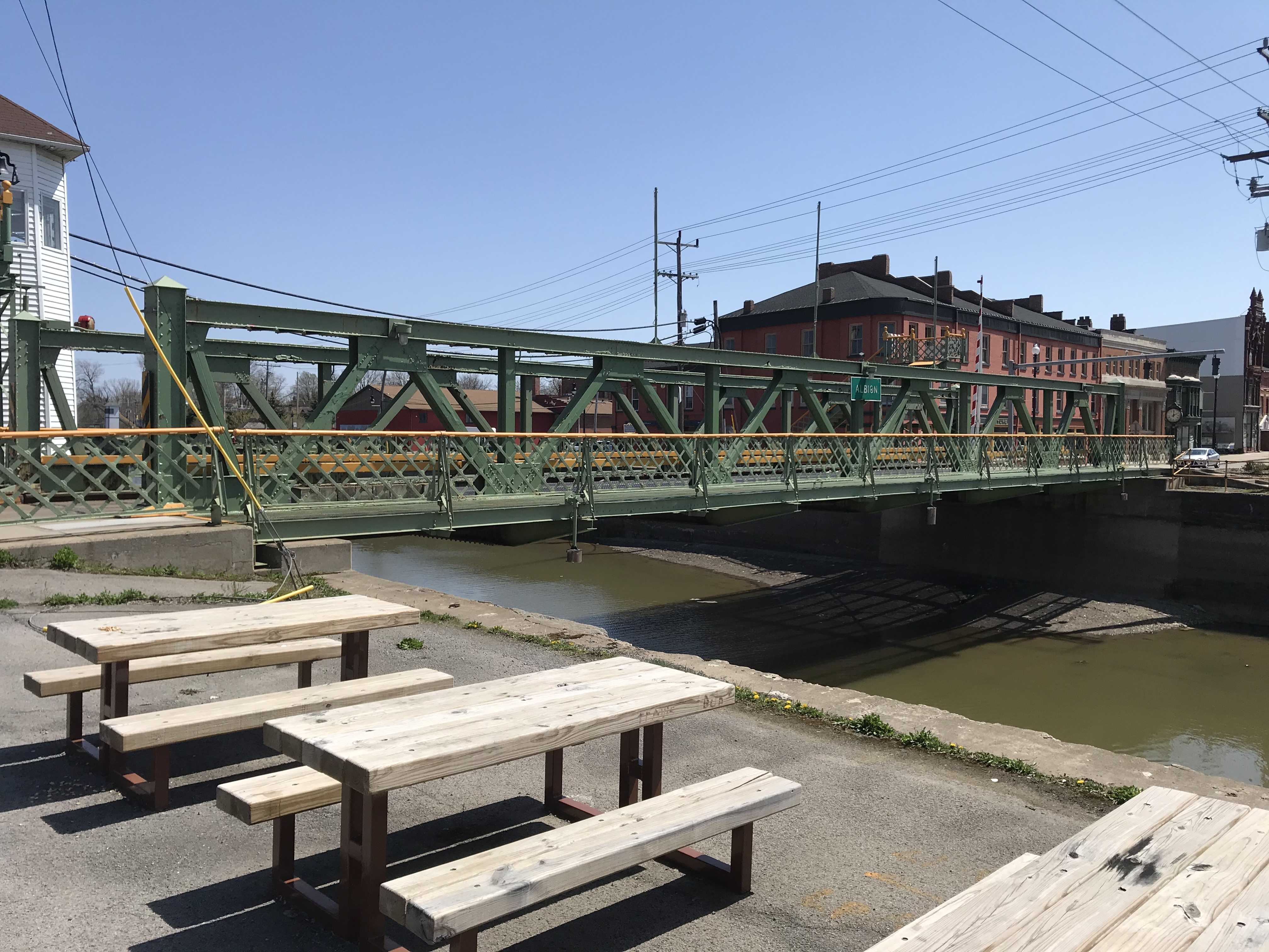
NYSDOT – Erie Canal Lift Bridge Rehabilitation
To assist with a rehabilitation effort on NYS Routes 19 and 98 in the town of Albion and Brockport, GdB Geospatial was hired to complete a laser scan of the existing steel bridges and deliver a point cloud for use in steel manufacturing and fabrication.
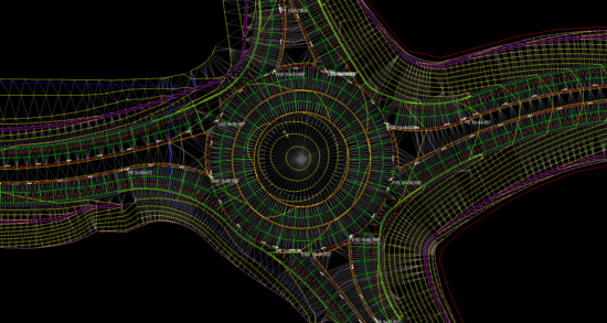
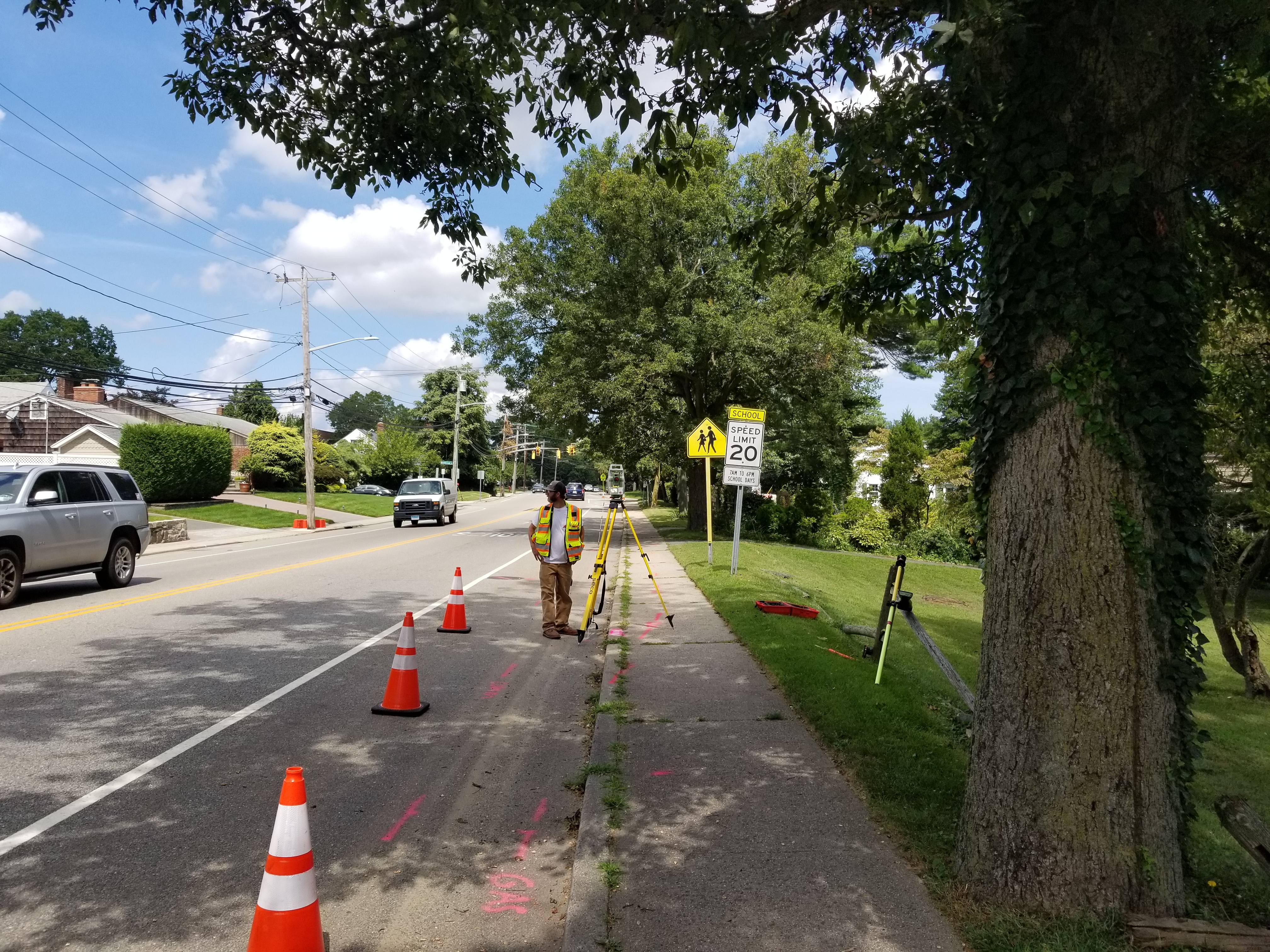
Ontario County – CR 23 Intersection Improvements
GdB was contracted by Keeler Construction Co., Inc. to provide various Land Surveying services including Construction Layout as well as Machine Control Modeling. GdB built a 3D Machine Control model based on the approved design
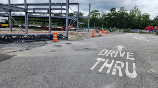
NYS Thruway Service Area Redesign
GdB field crews performed detailed topographic and utility surveys for each site, approximately 1.5 to 2 acres in size. All existing structures, pavement edges, sidewalks, curbing, ADA improvements, fences, gates, retaining walls, signage, lighting and visable surface hardware for utilities, and any other planimetric features were located.
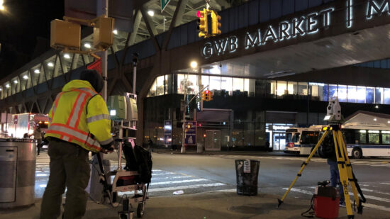
GW Bridge Rehab of the Trans-Manhattan Expressway Overpass
GdB completed a survey of approximately 3,000 linear feet of roadway along the Trans-Manhattan Expressway Overpass. The topographic and utility survey of the local roads was performed using a combination of stationary LiDAR (High Density Laser Scanning) and traditional robotic total station survey methods. The stationary LiDAR allowed GdB to capture enough detail needed to create surface mapping contours at 0.2 foot intervals. Total Station surveying was used to complete the utility survey as well.